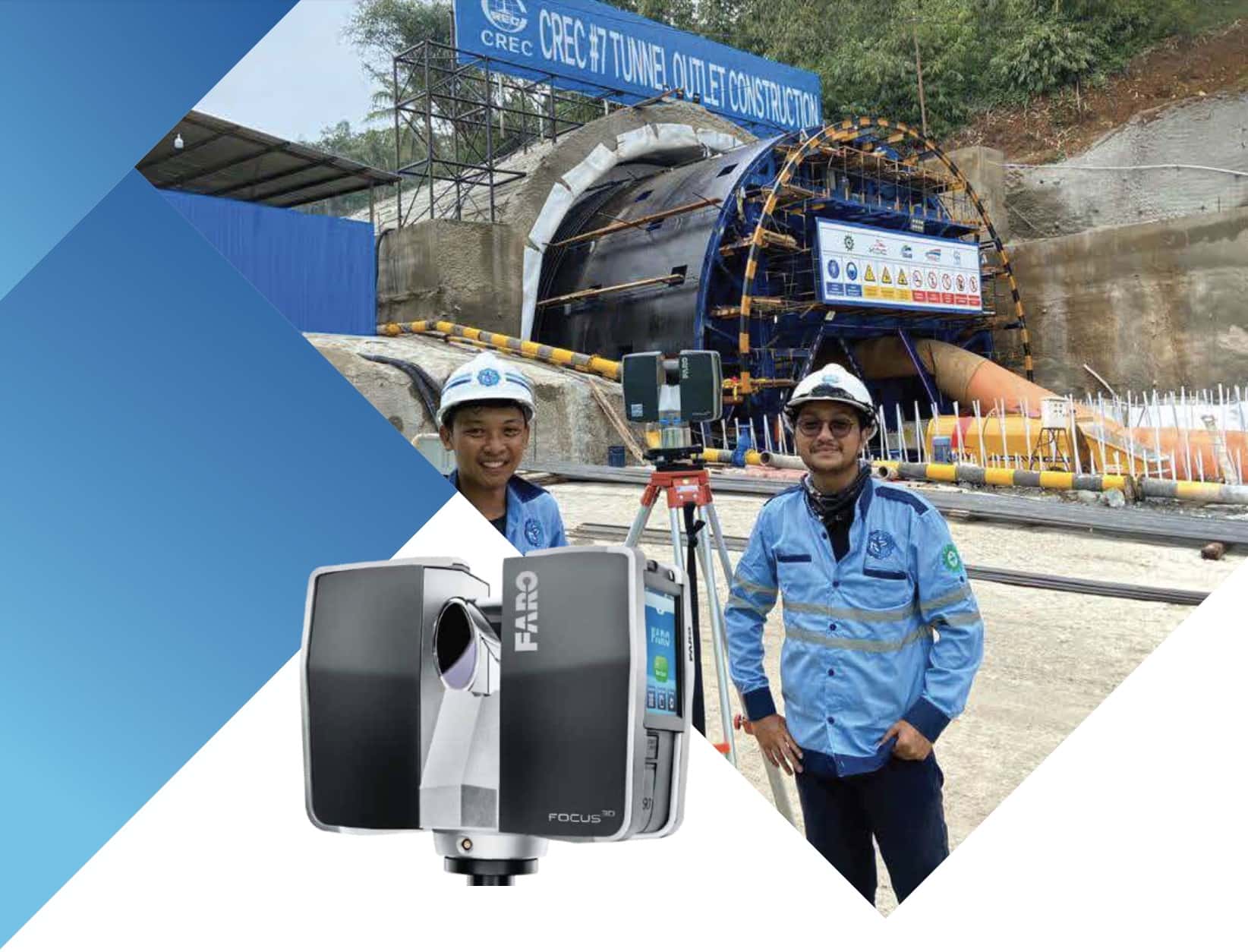
3D LASER SCANNING SURVEY
3D Laser Scanning is the process of shining a reflector less laser line over a surface in order to collect 3-dimensional data. A huge amount of detail can be collected in a short period of time and the detail is highly accu- rate. Equipment used for this survey is Terrestrial Laser Scanner (TLS).
TLS produced point cloud that will be processed into 3D modeling. It can be used for :
- As-built Surveys, Site/Engineering Surveys
- Deformation Analysis
- Pipeline Surveys
- Construction Inspection
- Bridge, Overpass, Tunnel, and Tower Surveys
- Any potentially hazardous environments
- Fabrication and Reverse Engineering
- Profiles and Volume-metric in mining industry