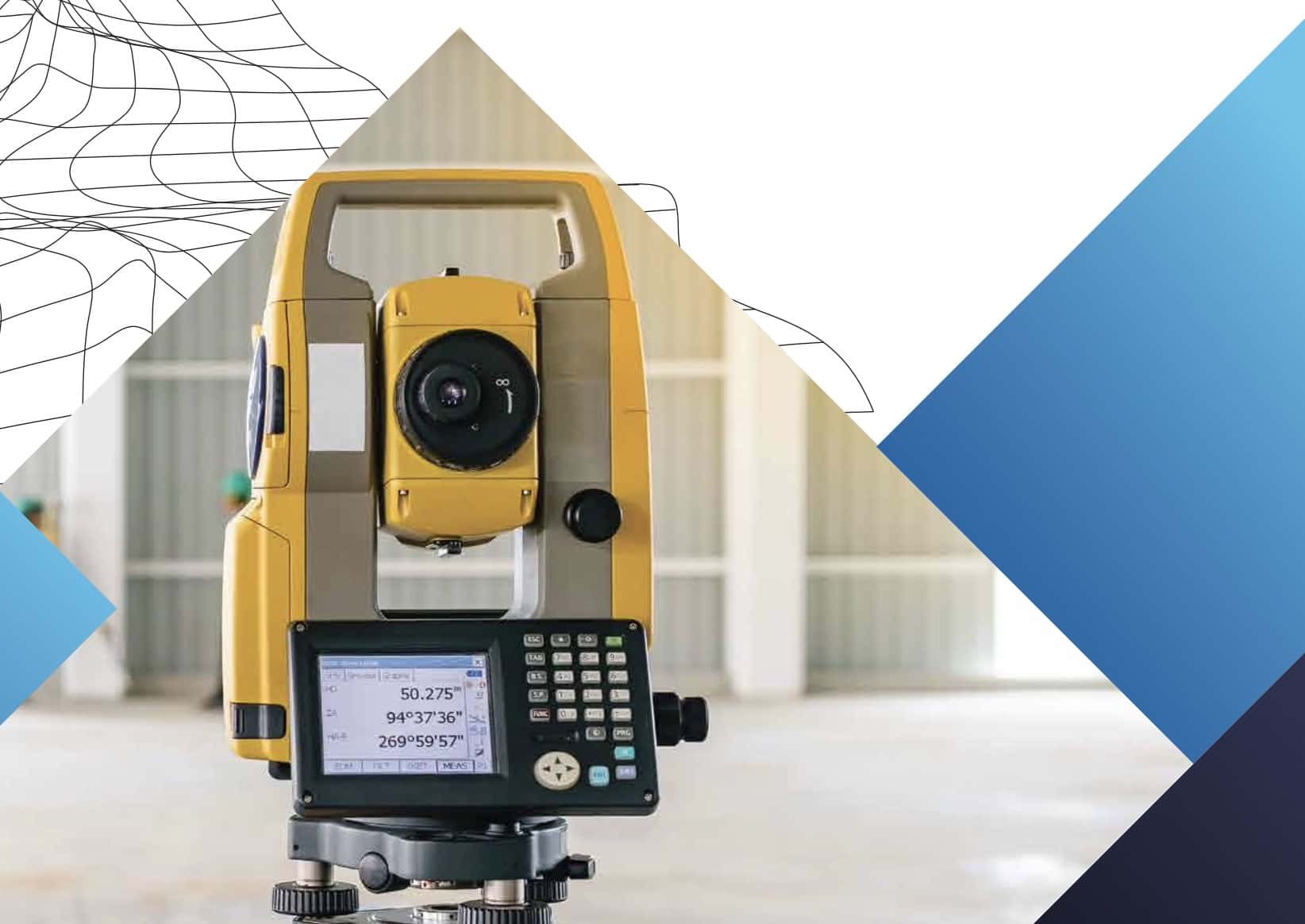
TOPOGRAPHY SURVEY
Topography survey is earth surface data acquisition that measure hori- zontal and vertical position of point or earth surface feature shown by coordinate and drawn as map.
Equipment used in topography survey are : – GPS Geodetic
– GPS Handheld
– Total Station
– Waterpass
– Laser Distance Meter
– Drone or UAV can be used to combined with land survey data result.
What is topography survey product?
- Contour map : presents levels across the site
- Detail situation map : presents position and shape of natural and man-made features
- Thematic map : presents information as required spatially and more informative
- Long and cross section figure : presents level from aside
Other work can be done by topography survey is staking out from design to field accurately.
Topography survey data is used for :
- Railway, roadway, pipeline, and other utilities – Calculate cut and fill volume and area
- Building or platform monitoring
- Map of disasters, cadastral,
Data survey result also can be used to planning , analysis, and design other engineering purposes.