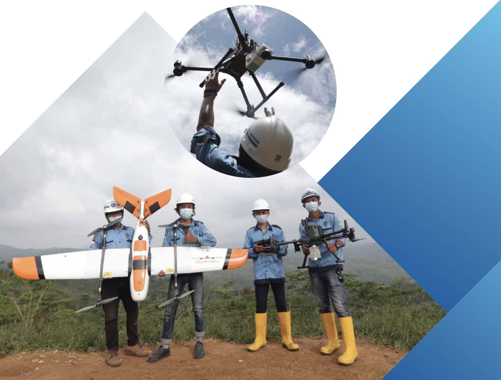
AERIAL MAPPING AND REMOTE SENSING
Aerial mapping is more effective and efficient than topography survey. Aerial survey could gathering data for any area that needs to be looked at closely and periodically.
Equipment used in aerial survey are :
- Drone
- Unmanned Aerial Vehicle (UAV)
- LiDAR
Aerial survey product is orthophoto in 2D and 3D view. In LiDAR technology, make it possible to get Digital Elevation Model (DEM) and Digital Terrain Model (DTM). These data will be useful for :
- Amount of trees and area monitor
- As-built daily progress monitor, cut and fill calculation
- Stock pile monitor, land clearing monitor
- Land and resource management
Besides aerial survey, spacious area could be observed by remote sensing. Remote sensing data useful for :
- Determined plant health level
- Disaster monitoring
- Base map that useful for spatial engineering needed.